

Project
Nonfiction map illustration for memoirist Jarmila Turnovsky’s forthcoming title Ruptured Lives, a dramatic and unique true story shaped by the shifting borders and socio-political dislocation of postwar Central Europe in the 20th century.
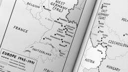
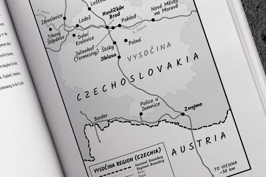
My task was to create two grayscale map illustrations for print and digital publication: one vertical map representing the Czech region of Vysočina, and a second two-piece horizontal map representing Europe divided by the Iron Curtain. Both maps were based on the author’s own sketches, with handwritten-style typefaces and simple iconography for easy reader reference.
I was only 13 when the Berlin Wall fell, so I’m looking forward to reading the author’s account of her family’s experience, which feels eerily similar to today’s dire headlines from Eastern Europe.
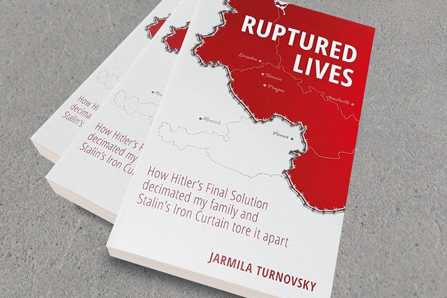
Update 1/20/25: Ruptured Lives is now up on Amazon. Front cover design by Dr. Sybs Bauer.

Components
Print: Grayscale versions (including Europe split over two pages) for publication
Digital:Grayscale versions (including Europe in one map) for e-reader publication
Ruptured Lives Memoir Map Illustration
Nonfiction memoir map illustration in grayscale.
ClientJarmila TurnovskyServicesMaps, Print, DigitalYear2022Linkrupturedlives.wixsite.com