

Project
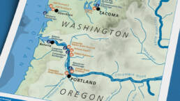
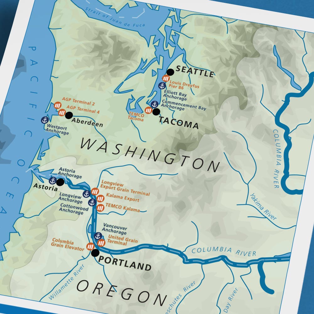
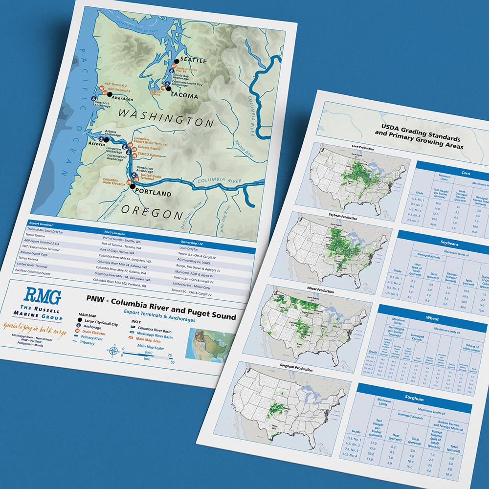
Wrapped up a fourth 2026 map project this week, in the form of a two-sided tabloid-sized infographic/one-sheet for the Russell Marine Group, a cargo shipping company operating out of New Orleans, Portland OR, and Manila. The main map shows all anchorages and grain-elevator terminals RMG works with in the Pacific Northwest, both along the Columbia River and in Puget Sound.
I was asked to create a custom full-color 11″x17″ vector map of western Washington and Oregon for display and distribution with other RMG sales collateral. I emulated an existing RMG map of similar points of interest over a much larger area: the Mississippi-Missouri-Ohio watershed, which also sees regular and substantial RMG export traffic (and included as a reference inset here). As with other recent projects, I built this one from existing creative-commons vector assets and re-styled its color, type, and iconography to match the RMG visual identity.
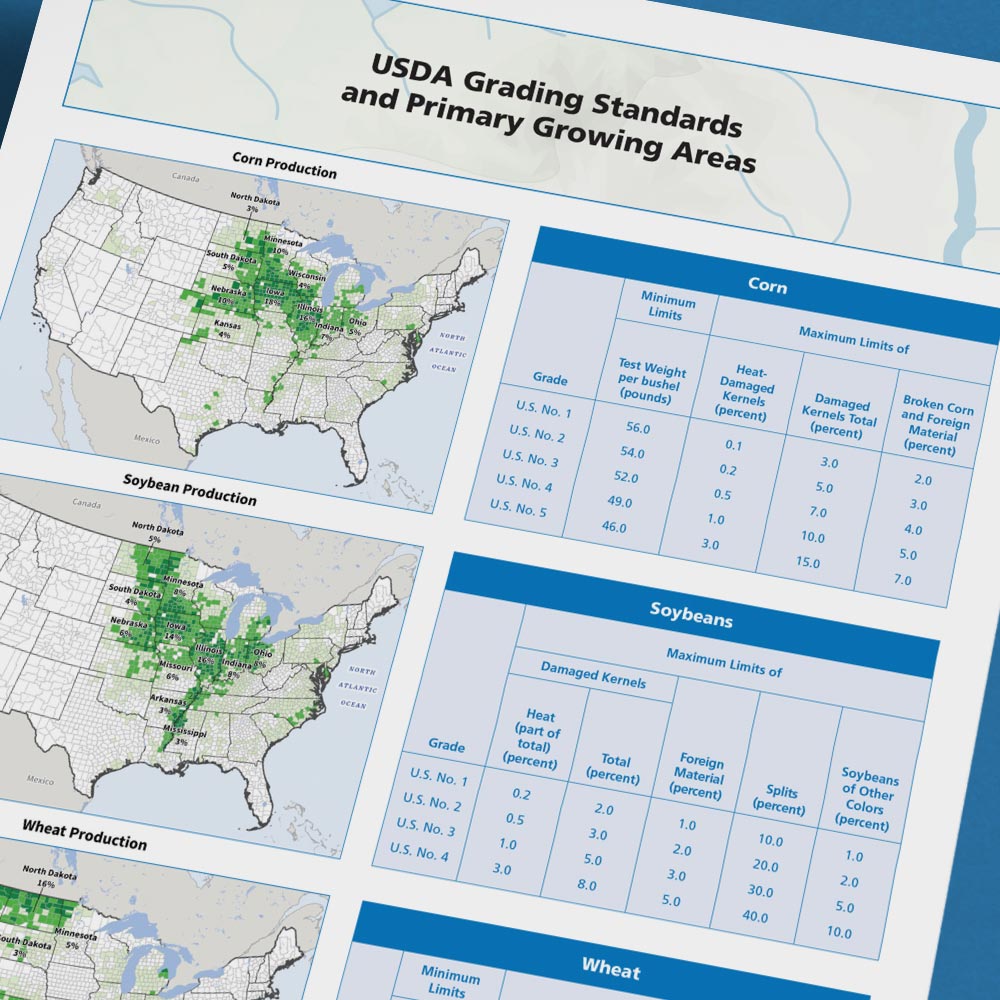
For the reverse side, RMG requested a reference sheet comprised of USDA Grading Standards and Primary Growing Areas—which I created using existing USDA grain production maps and those maps’ re-styled corresponding text tables as posted on the USDA website. Sort of a yours-mine-ours jalopy job of cartography and publication layout—a new piece made from disparate older pieces by other people. Thanks to Pat Russell for reaching out and working with me!
Components
Digital: Full-color, branded, print-ready digital PDF versions
Print: Tabloid-sized full-color asset ready for integration with other collateral
Pacific Northwest Terminals & Anchorages Map
Vector map and one-sheet of Russell Marine Group’s operating locations along the Columbia River and Puget Sound in Washington and Oregon, plus USDA grading standards and primary grain-growing areas on the reverse side.
ClientRussell Marine GroupServicesDigital, PrintYear2026Linkwww.rmgcal.com