

Project
Map illustrations for postcards and online content promoting the “Lagoon District,” a proposed Santa Barbara commercial association.
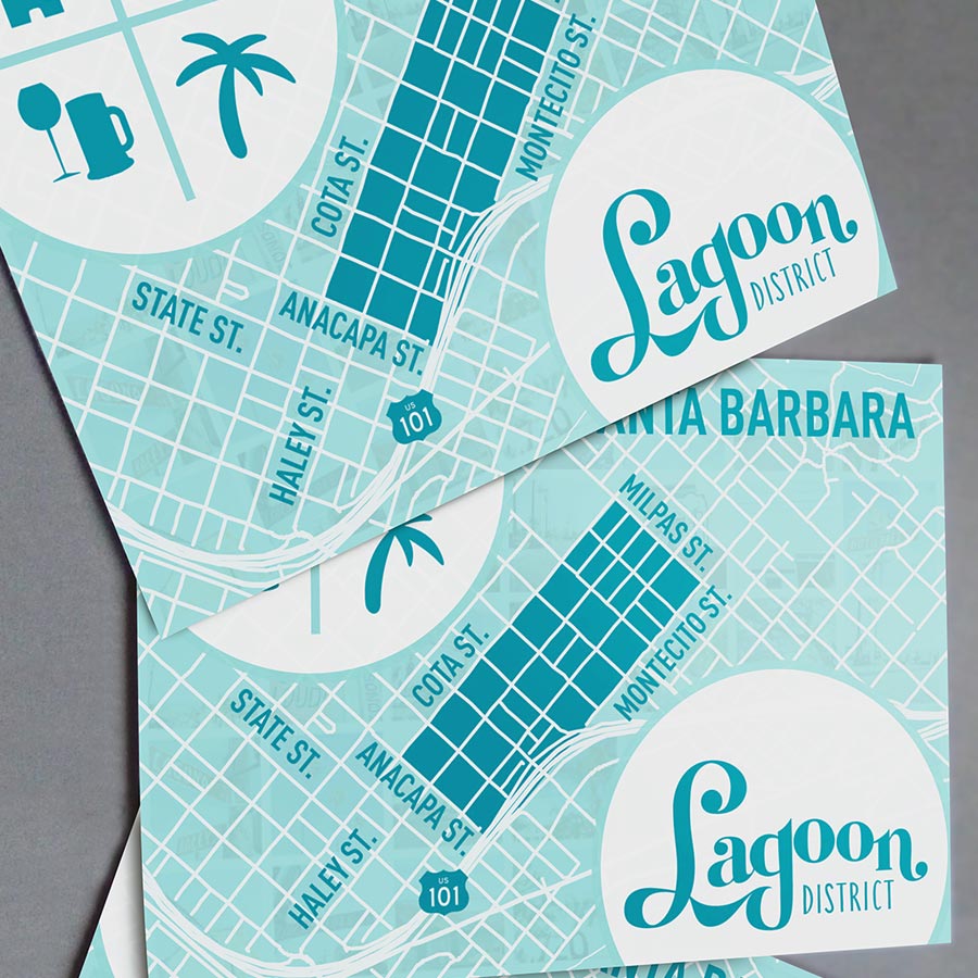
While the project ultimately didn’t come to pass, that had little to do with the quality of my own work—two map illustrations and print layouts—so I still highlight it as an example of what I can do for neighborhood associations.
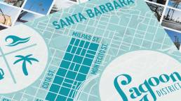
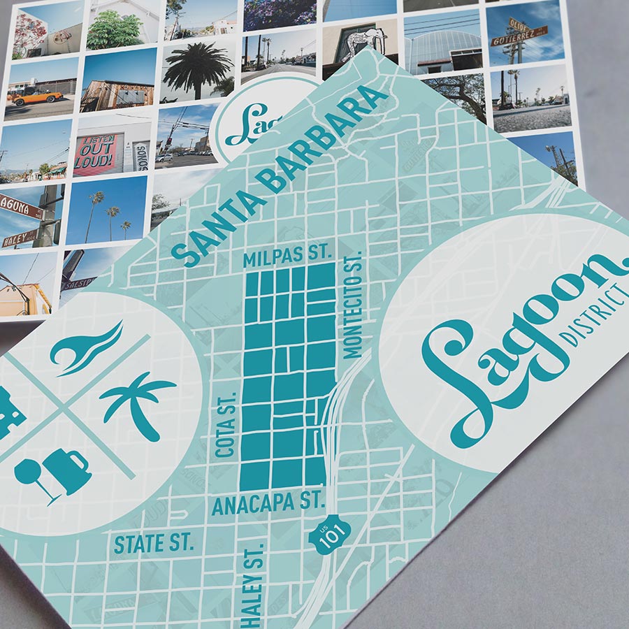
The map uses a vector street map showing the S.B. East Side as a backdrop, with the four streets labeled that bound the eight-by-three-block neighborhood. Visual identity utilized the Lagoon District’s existing typography and color palette.
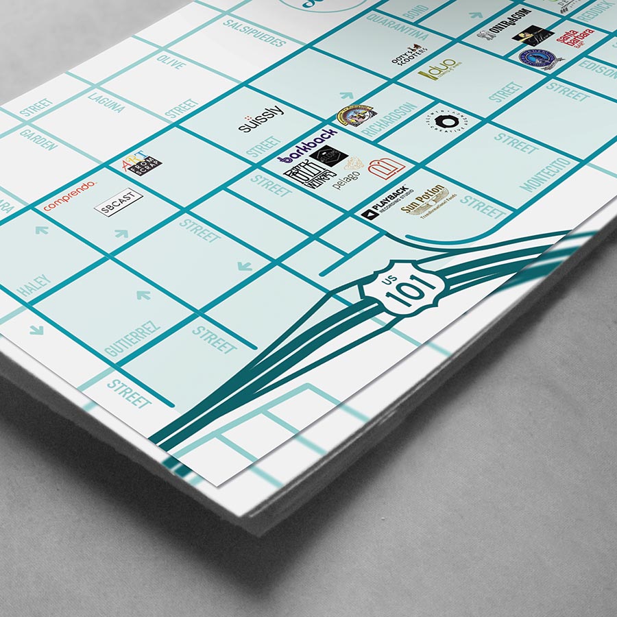
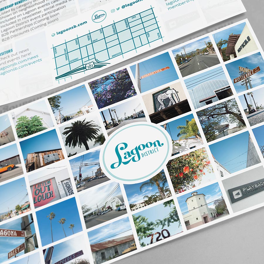
Postcards used this map with photo montages of snapshots taken around the neighborhood, plus logos of participating businesses, to highlight association membership.
Components
Print: Two 6″x9″ full-color postcards with maps, photos, and membership information.
Digital: PDF postcards and website image assets for lagoonsb.com.
Lagoon District Neighborhood Map Illustration
AgencyOniracomServicesPrint, Digital, IllustrationYear2016Linkoniracom.com