“Hey Keir, what’s up with that second fantasy atlas you were allegedly making a few years ago?”
Oh it’s still happening, just…very slowly. See, I’d originally planned it to be like the first one—a close look at one particular region, with an even closer look at one or two big cities in that region—but that’s not what it’s becoming.
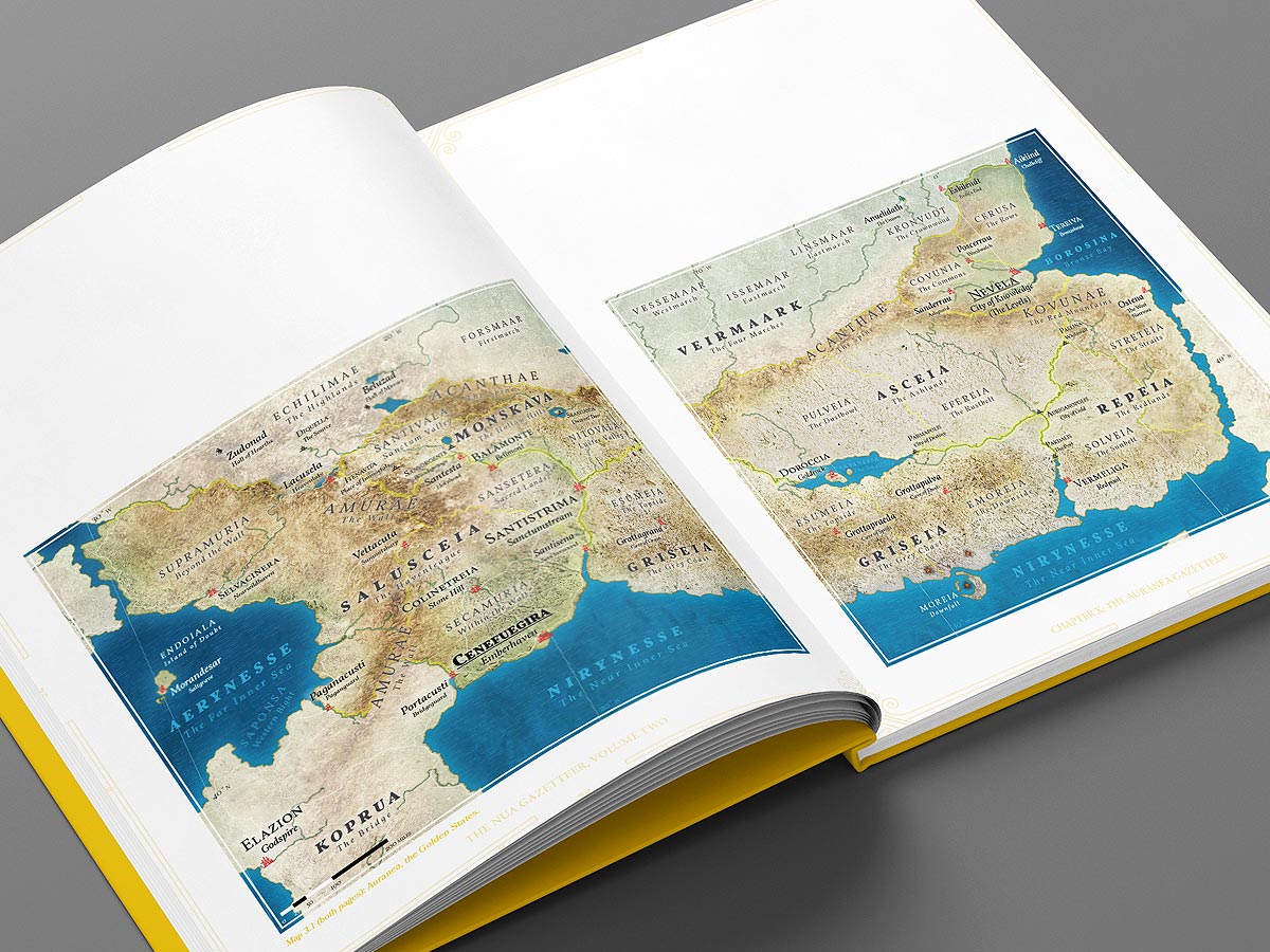
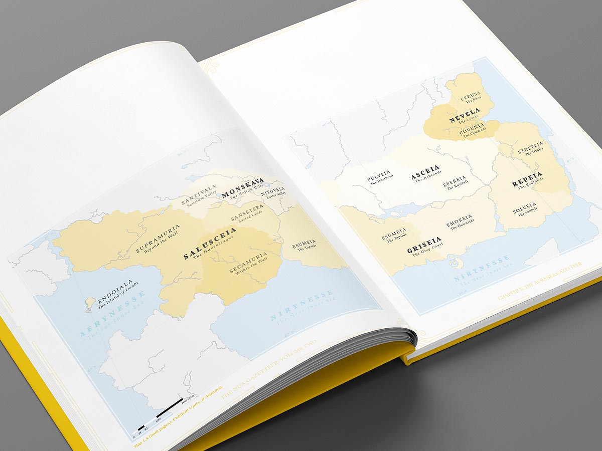
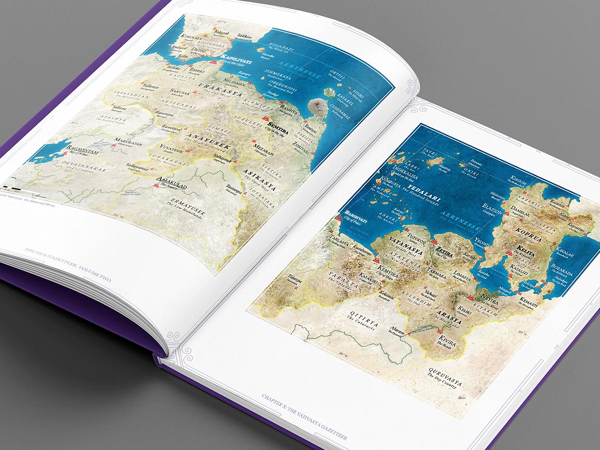
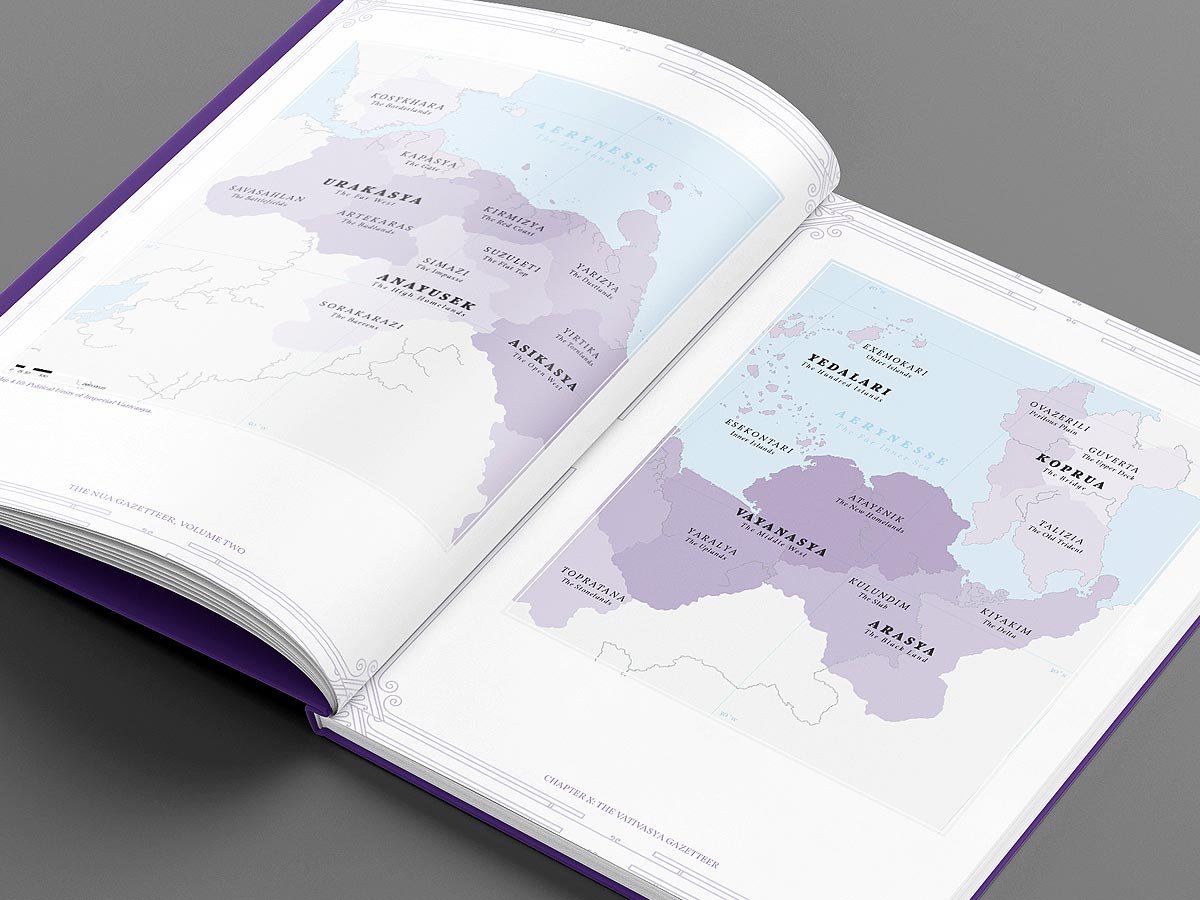
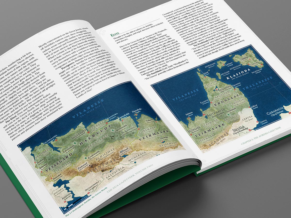
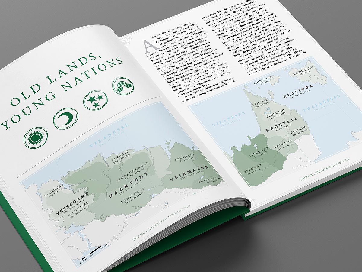
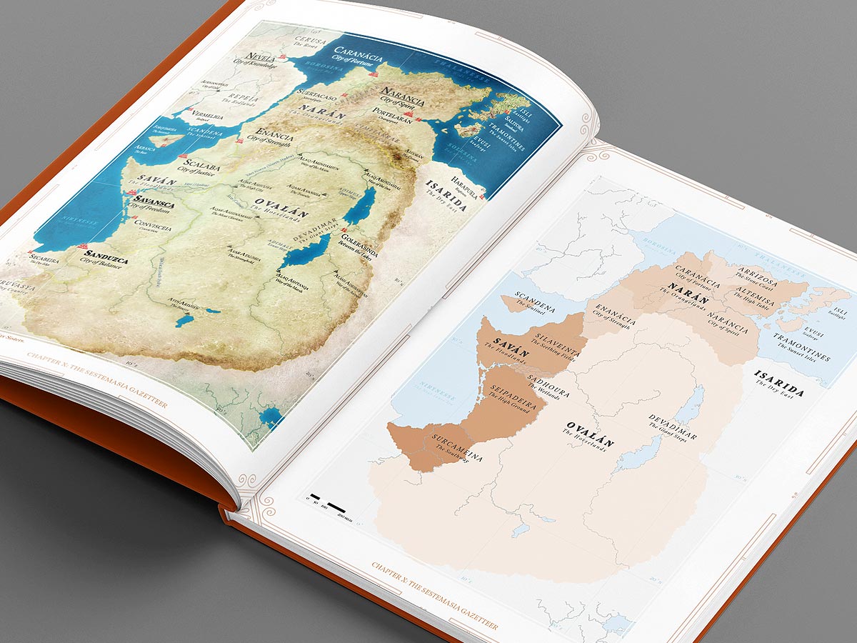
Instead it’s been superseded by a sort of general survey of the four main regions I want to world-build. Like maybe an expanded version of a chapter from my first fantasy atlas (represented by the green one in Panels 5 and 6 below) that did the same thing to a lesser degree. Recent client-project vector maps have helped me work with vector formats here too, like making political-unit versions (color-coded by region) of my older found-texture physical maps.
I still intend to make that second detailed atlas (because one city’s been done for a while) and eventually follow it up with 1-2 more, but I figured that might go easier if I started from their general-survey versions than totally from scratch. I’ve also been shamelessly stealing, warping and filing the serial numbers off ideas from Baldur’s Gate 3 (to which I remain addicted) as well as several other real-historical inspirations, and making them more suitable for this context. Never work from a blank canvas, folks!
So yeah, slowly but steadily my big “Game Board” poster is turning into several books (or PDFs, or whatever). I don’t know when (I guess we can call this) “Volume 1.5” of the gazetteer will be complete, but that’s the good thing about passion projects. They can take as long as they need to so that they can get done the right way. More as it develops, so stay tuned.